Great, it worked, thank you for fixing it so quickly!
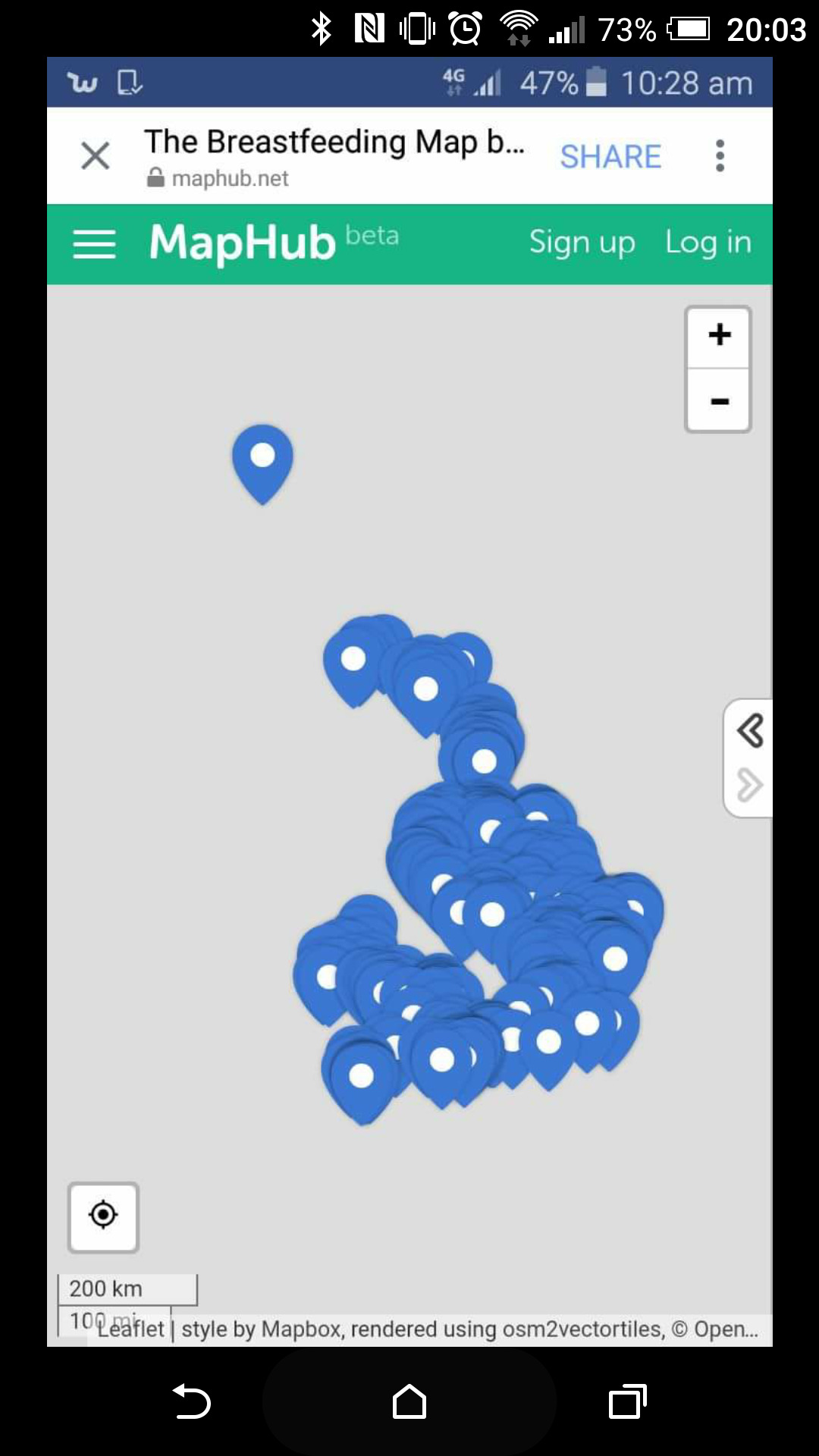
Hi there. I’m getting reports from people using my map that it’s not working on their mobiles when they click a link through from the fb app. The map just looks like this and is not interactive at all.
Hi Francesca,
Do you mean users who are using Facebook app on Android? I’ll try to look at what might be the problem.
Zsolt
Hi Everwanderwhy,
Thanks for reporting it! I’m working on it right now, it’ll be fixed very soon!
Zsolt
It should be fixed now, can you check if it is?
Thanks! Working now.
Maps don’t seem to be loading on older iPad models (safari browser). The page opens but the map does not display. Tested on 3 different ipads.
Edit: It’s working now.
Display Icons as dots is being reset after importing a KML file.
Steps to reproduce:
- Enable Display Icons as Dots
- Import a KML File
Result:
Display Icons as Dots should be reset
Hi @Dotly. Thanks for the report, I’ll be looking into it.
1 Like
Another Bug, that may only be happening on large maps
After using the map and creating new points for a while, the icons will disappear under the text for each added icon
Saving fixes it very temporarily, but reloading fixes it for much longer.
Steps to reproduce:
- Open large map?
- Use the map for a while
- Place icons until they start to disappear
Result: Icons will break, and stop appearing
This is a minor issue, but I just thought I would let you know
Hi @Dotly and thanks for this bug report.
Can you reproduce it on a clean / empty map as well? Also what kind of icons do you place? New custom PNG icons, or just putting dots on the map?
Just putting dots on the map. I can try to re-produce it, but I don’t know if it’s a problem with the map size, or the cached data points.
In Firefox on Mac the Read More link barely expands the pop-over, regardless of zoom level.
FF v. 85.0.2
Mac OS Catalina 10.15.6
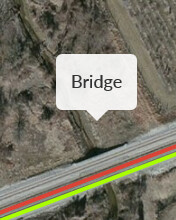
A student in my mapping class is trying to use MapHub to make a series of layers of the Boston T system over time. For some reason, Milton and the surrounding area are blocked out when you are at a certain zoom level and he can’t see where to put the markers on the map. Help. Why is this happening? I tried it in a new, blank map in my account and the same thing happened, but only for that specific geographic area.
Any zoom level further out than this and you can see it, this close or closer, and you get this buff colored box:
What is happening? And how can I make it stop?
Thanks!!!
Hello Kim and Welcome to the Forum,
This is a problem with the MapHub basemaps, they have a problem in some small areas like this. The solution is to use any other basemap from the basemap panel.
Awesome! Thanks!!!
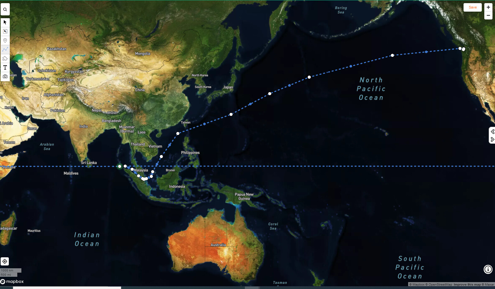
Hi,
When I try to make very long paths (15,000 km for example) that go transoceanic, after a certain point the system automatically routes the path around the entirety of the map (picture). This also happens when I try to import a kml/kmz path file that has this profile
Hi, I have been making a map for a while now and never had an issue. However, today I tried to save and it wouldn’t work and then I refreshed and received an internal server error. Currently I can’t access the website and haven’t been able to for a few hours. Do you know of anything I can do? as I really don’t want to lose the progress that I have saved on my map. Thank you
Hi, sorry the server was having problems for a few hours, it just got fixed.
1 Like