I do not see anyway for my users to get the Lat Long for an item when they are viewing the map i created. In Google My Maps, this shows at the bottom of the balloon when you click on the item. Is there a way for them to see this? I can see it when I am logged in, but not when I am not. A lot of my users will use the coordinates, so it is necessary for them to get them. I could add them manually to the description, but this kind of defeats the purpose of having a computer map.
If not available, please add this to your features request.
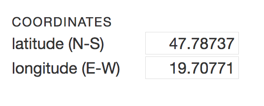
I am definitely adding the coordinates if there is a need for them!
But can you explain your use case in detail, I’d love to know how your users would like to use MapHub so I can make it better (you can also email me at zsolt@maphub.net).
Integrating lat-lon into search isn’t really easy, but can you explain a use case how would you like to use it? Would it help if you could center the map by the url? So for example: maphub.net/user/map?lat=12&lon=23
My use is that I have a Google My Maps that is a site guide. My users will want to drive to the locations indicated on the map. The easiest way for them to do this is to copy the coordinates into their GPS or phone and use that to navigate. Easy to do on My Maps since the coordinates are displayed when you click on a marker.
However, I am not sure that MapHub is going to be of use to me because of weaknesses in the base maps which are not your fault. In my state (Delaware, US) many of the natural areas are not marked or the boundaries are woefully out of date. For example, White Clay Creek State Park is only indicated by a pre-1960s outline and Blackbird State Forest is not indicated at all. These are destiinations for my users and need to be on the map. Both Google and Apple Maps have these features correctly marked and up to date.
I see. What about giving a direct Google Maps link, which will open up the navigation on mobile phones? OK, for a Garmin GPS it’s no help, but almost all GPS apps open up on an Android phone for a google maps link.
About basemaps, have you tried alternative basemaps? Like ESRI USGS Topo (World Topographic Map)?
I have hundreds of markers on my maps so I do not want to put a link on each one.
I did look at all of the basemaps. The one you suggest is probably the best but it still is out of date in several ways (again missing the modern boundaries and name of White Clay Creek State Park and it does not label state forests or wildlife management areas). All of these are in Google Maps.
Can you have a look at HERE maps, are they more up-to-date?
Or alternatively you can also contribute to OpenStreetMap, so all OSM users around the world would benefit from the updated boundaries. At least in Europe OSM has become the best source for outdoor activities, because of the very enthusiastic community mapping efforts. Just click the Edit button on the top of the page here:
I would still prefer the coordinates to popup because I prefer to use my GPS and they are easy to enter.
The map you linked too still has some minor problems but it is much better.
For now I only see drawbacks to switching to MapHub compared to Google My Maps, but I would like to switch at some point because Goolge loves to drop support for its more obscure products, so I hope to follow the maturation of MapHub.