Is there an easy way of finding out the elevation of a route created on MapHub without leaving the site?
I have 221 walks which are all mapped on Maphub. The tool shows me the distances of a route in miles and kilometres, but I have not found a way of discovering the elevation covered when working with Maphub.
I am currently working out the elevation for each walk by exporting my Maphub maps into either Komoot or the OS App where both tools then show the elevation of the Maphub imported map.
But it would save me a lot of work if I could find the elevation while I am building the routes in Maphub and avoid having to leave the Maphub site.
Is there a way to do this?
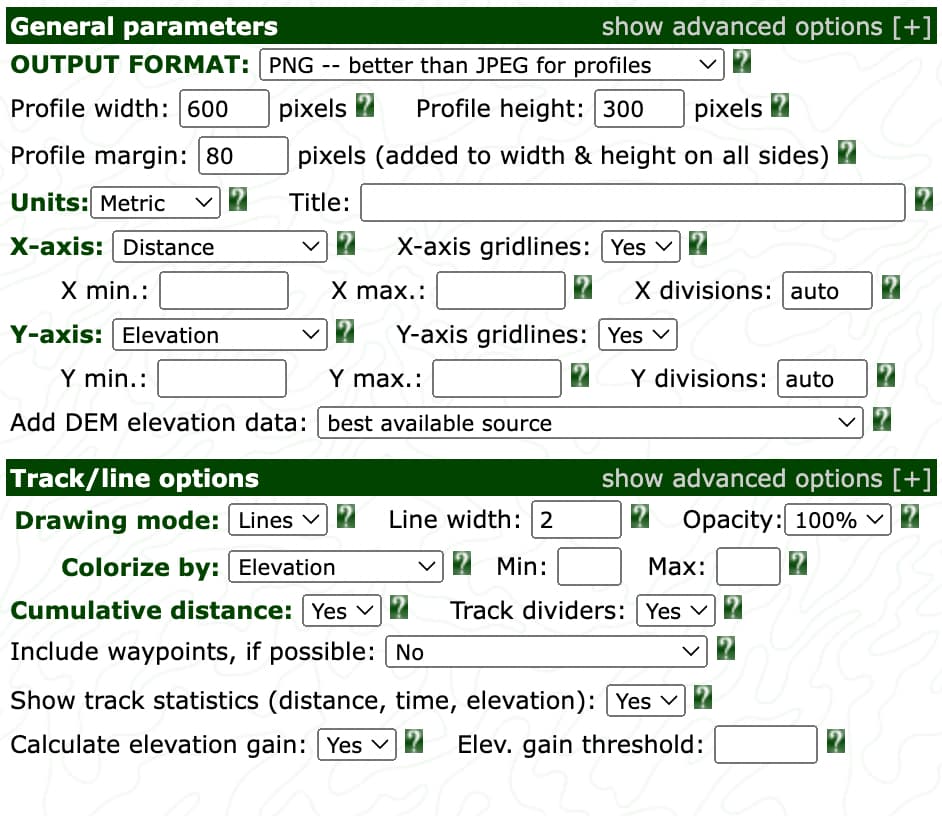
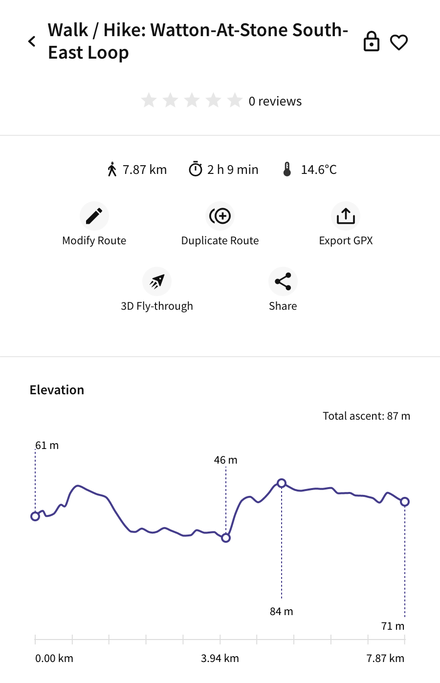
Some examples below of the elevation information displayed by the OS App and Komoot after I imported my Maphub maps into their systems.

David (Brewer)
Editor - Hertfordshire Walker