OK, thanks for the interest!
Well, I am sure what I would like because now it is a function available in FusionTables that as you know will die on December 4, 2019.
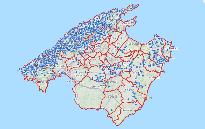
My database is 1760 waypoints and it is important to work on ONE list, ONE map because the database is dynamic with constant changes and updates.
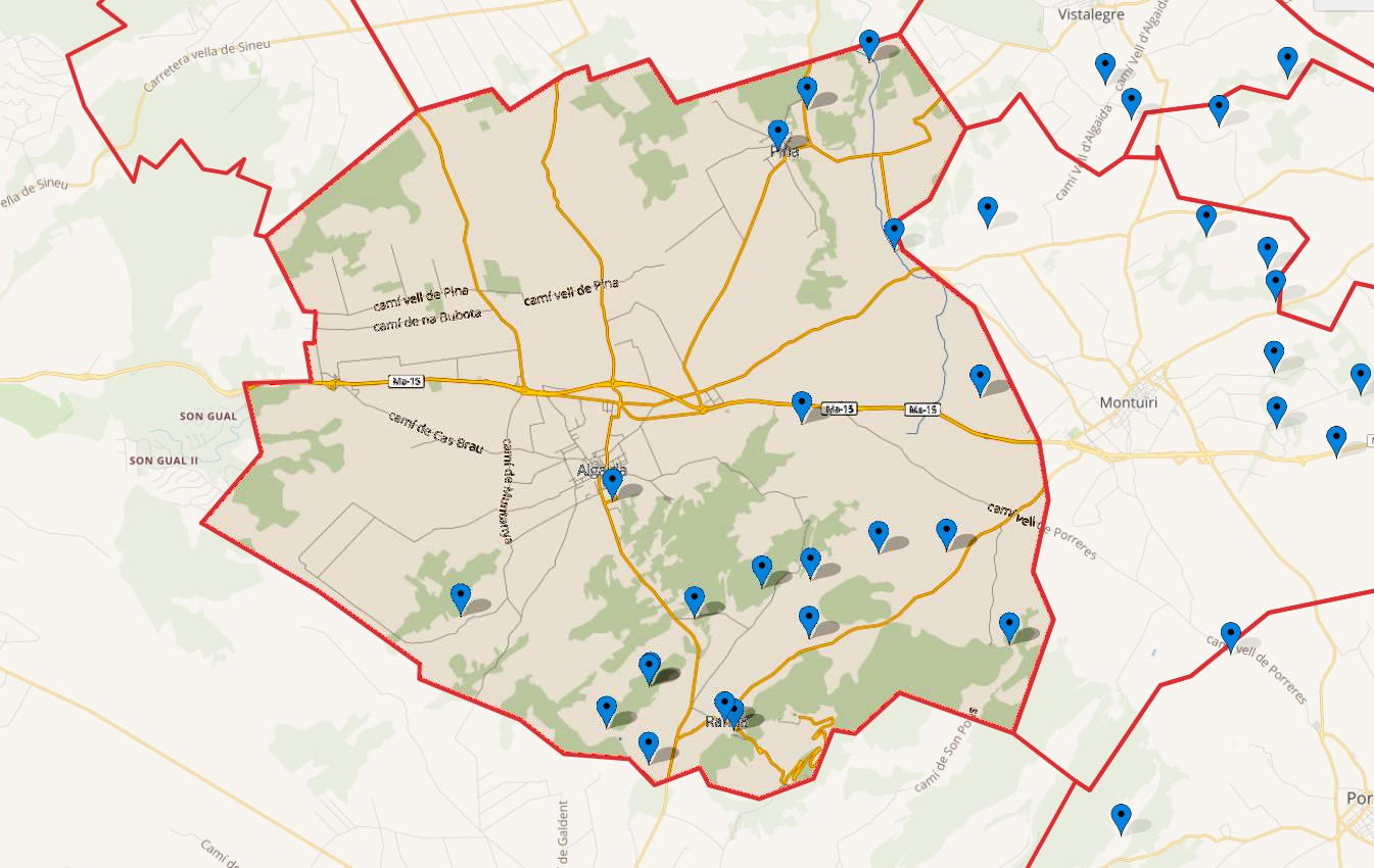
For me the perfect thing would be: I have a single map with 1760 waypoints, in 5 regions and 52 municipalities and I can choose the INITIAL zoom LEVEL and the ZONE (municipality) that will be in sight. But it is important that this be a concrete LINK always on the SAME MAP.
I try to be able to two examples with a VIRTUAL LINK, imaginary to explain my idea:
https://maphub.net/fontsdetramuntana/mallorca/39.596243,3.039092-level-8
https://maphub.net/fontsdetramuntana/mallorca/39.558452,2.893256-level-7
And this is the general MAP that should be the ONLY one for me.
Thank you !!
(With this LINK to a point and a chosen ZOOM, the background color of the polygon would no longer be as important)


